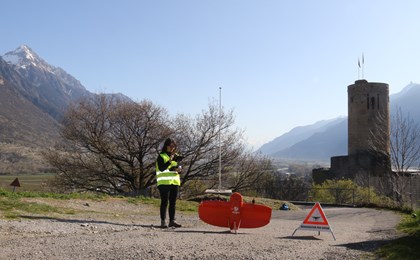
Drone (UAV) and photogrammetry
Photogrammetry is a technique for determining the dimensions, positions and shape of 3D objects from aerial or ground photos.
Thanks to its skilled staff and its state-of-the-art equipment, GEO4ME is able to provide you with various services:
-
- Creation of very high resolution orthophotos (up to 2cm)
- Topographic maps of large areas (more than 200 ha)
- Creation of 3D models
- 3D vector graphics rendering
-
- Cubature calculations
- Archiving of historical heritage sites
- Facade surveying
- Virtual reality


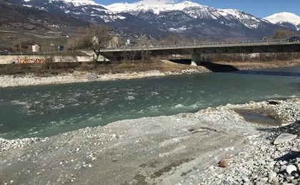
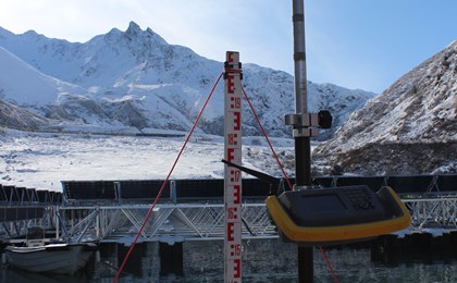
Bathymetry
Bathymetry is a technique for measuring the topography of the seabed and thus determining the depth of water in relation to the surface.
A sonar device measuring water depth is installed on the bottom of a boat, coupled with a GNSS sensor or a robotic theodolite. The synchronisation of the various measuring instruments makes it possible to draw up a geolocalised map of seabeds, lakes and rivers.
The main uses of this technology are:
-
- Profile surveys in the Rhône or in any other body of water
- Monitoring the evolution of the Rhône river bed
-
- Erosion analysis of seabeds and riverbeds
- Supervision of underwater structures, volume calculation
GEO4ME helps you with your bathymetry projects by offering you innovative and ingenious solutions.


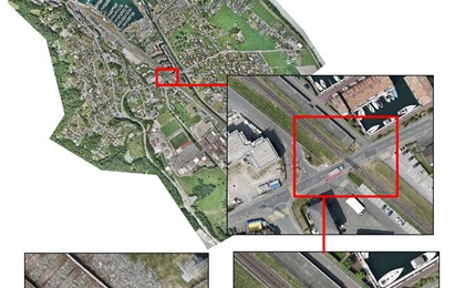
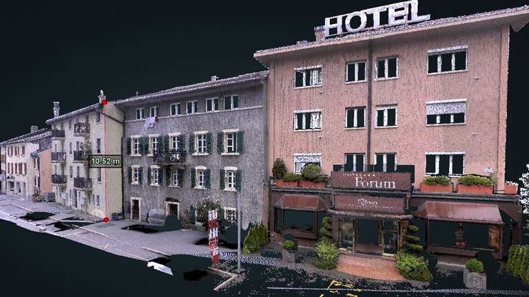
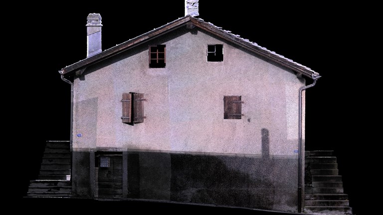
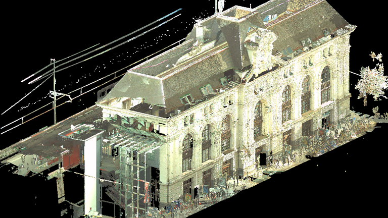
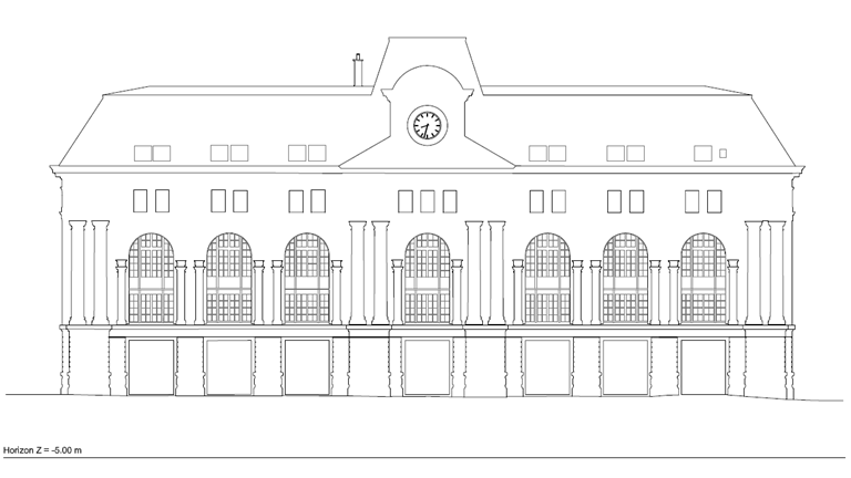
Laserscan
Our laser scanner allows the capture of millions of points (3D) up to 600m with an accuracy of +/-5mm at 50m in a few minutes.
The main uses are:
-
-
Various technical surveys:
- road and rail infrastructure
- structures (bridges, tunnels, etc.)
- buildings (interior, exterior, façades, roofs, etc.) for documentation purposes (e.g. before demolition), for conversion (existing architectural constraints, roof structures, etc.)
- complex piping systems (industry, large buildings, special structures, etc.)
- overhead power lines (towers and cables)
- archaeological sites, ancient buildings (inventories)
- articles of local heritage
-
-
- Topographic surveys and digital terrain modelling (DTM)
- Profiles in inaccessible areas
- Volume determination (gravel pits, quarries, building sites...)
- Deformation measures (roads, cliffs, erosion, dams, cracks...)
- Analysis of visibility, heights, sunlight or exposure
- 3D modelling
- Photomontage
- Virtual reality
Models and BIM (Building Information Modelling)
The creation of a model for an architectural competition combines expertise in simplifying the real structure and in 3D modelling. Through its skills and its partners, GEO4ME is able to provide you with a complete topographical survey, followed by a set of plaster models for an architectural competition.
As the project takes shape, BIM (Building Information Modelling) technology allows a digital model to be built and the entire life cycle to be modelled:
-
- sa phase de projet
-
- sa réalisation
-
- son utilisation
-
- sa fin de vie
This model highlights conflicts between the plans of different trades, energy consumption during the operational phase of the project and the visualisation of the project in virtual reality. It therefore enables close collaboration between the various parties involved in a project.
GEO4ME can provide you with BIM-compatible geodata and has the required BIM tools to create digital BIM models.

References - 3D surveys