References
Orthophoto haute résolution de la commune de Port-Valais
-
Prestation
PhotogrammétrieLieu
Commune de Port-ValaisAnnée
2019 -
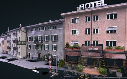
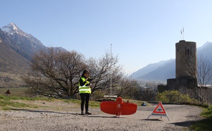
- Orthophoto haute résolution à 3cm/pixel de la zone à bâtir de Port-Valais (320 ha) réalisé par photogrammétrie (vol drone).


Other similar references